A major expansion of 65 year old infrastructure
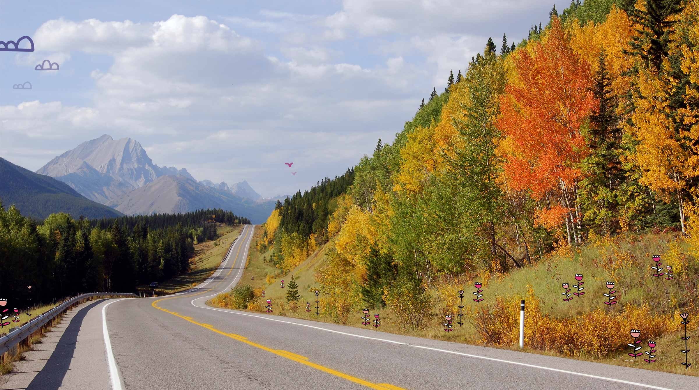
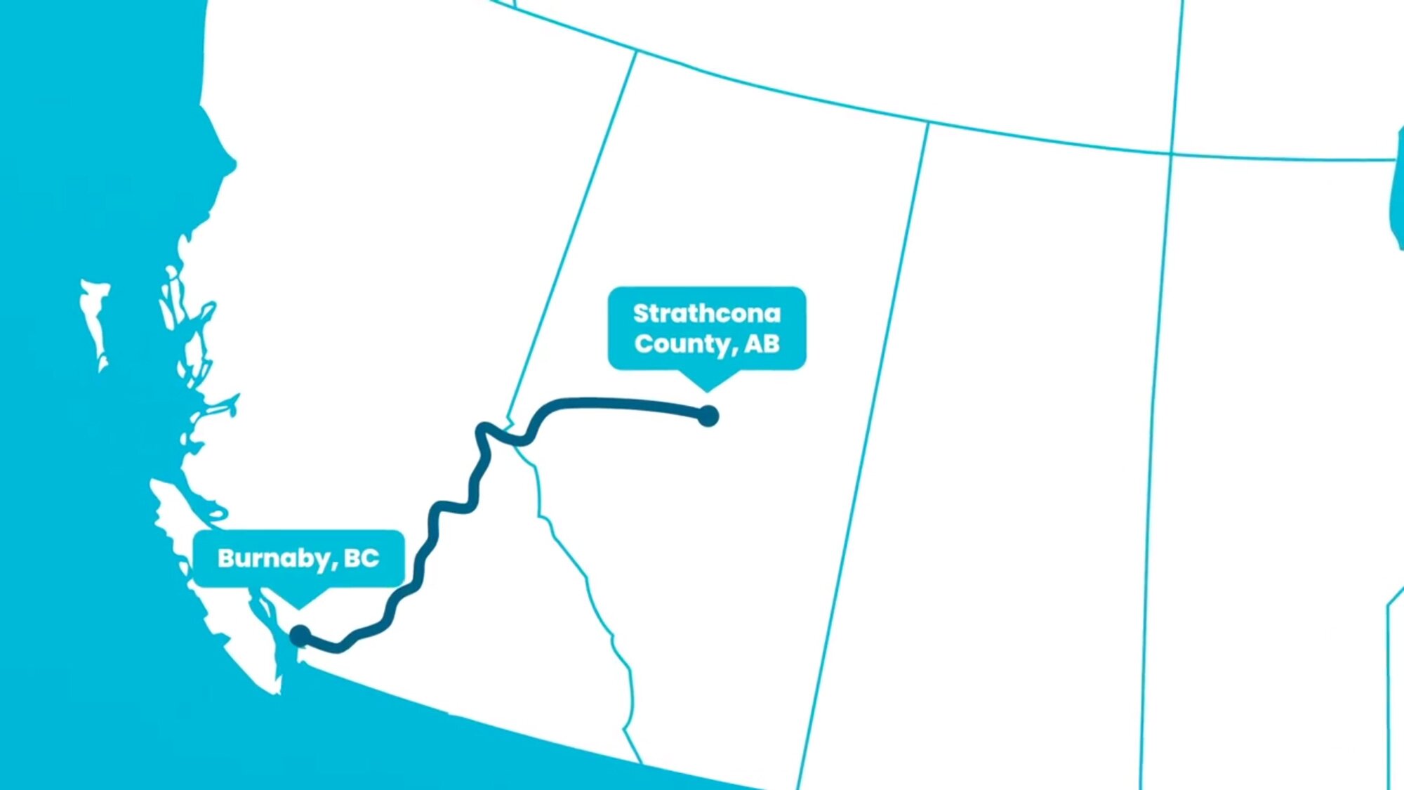
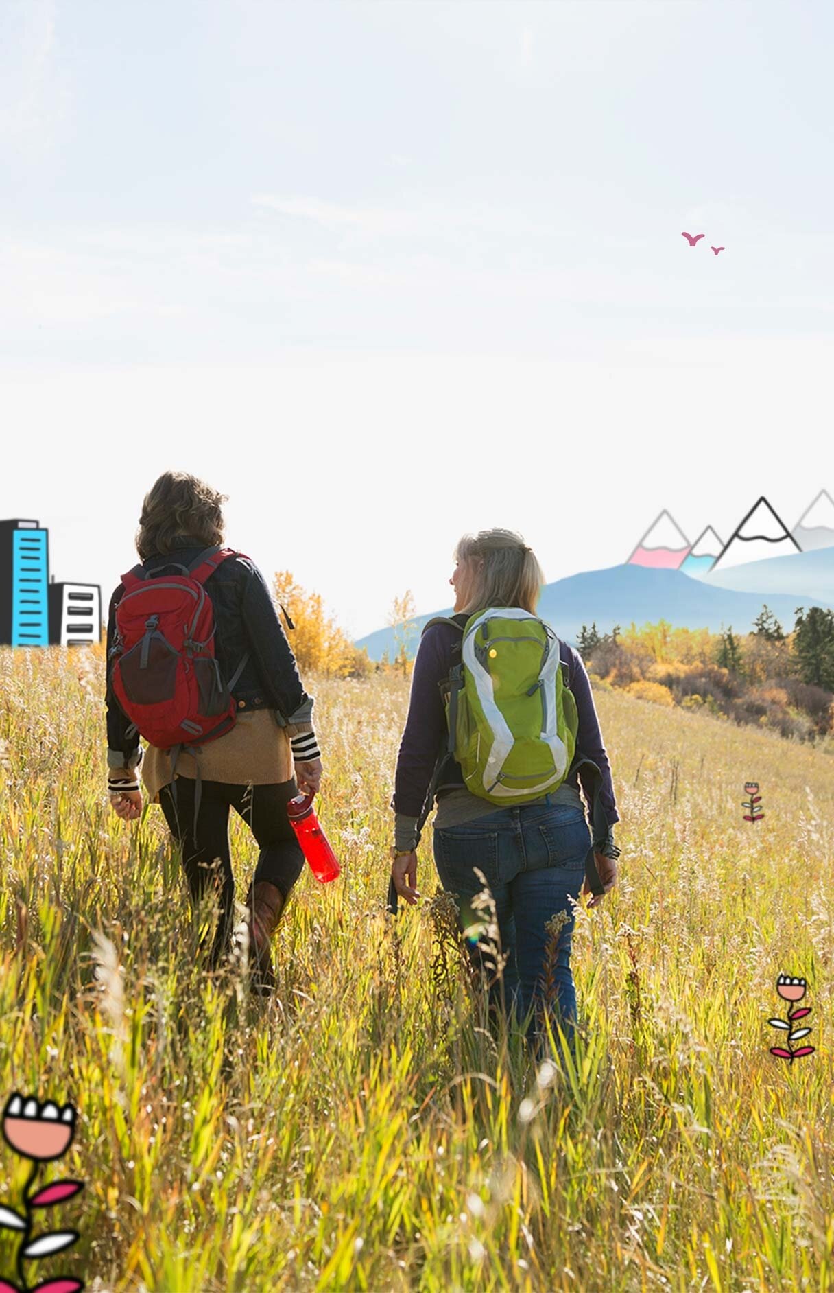
Stretching from the outskirts of Edmonton, through the Rockies, to Burnaby and the bustling Port of Vancouver in British Columbia, the expanded Trans Mountain Pipeline will follow a carefully considered route that balances the diverse needs and interests of communities, environments, and businesses along its path.
How will expanding the Trans Mountain Pipeline impact the landscape?

Share the facts


Trans Mountain Pipeline expansion
Built in 1953, the Trans Mountain Pipeline runs west from the Edmonton area into the mountains, through Jasper National Park, and then south to Kamloops in British Columbia, before reaching Canada’s west coast at Burnaby. The existing pipeline has been expanded multiple times over the years and enhanced with advances in safety technology.
The current expansion project adds a second, larger pipe that follows the existing pipeline’s path for 73% of the route and existing utility corridors, like highways and powerlines, for 16% of the route. The remaining 11% will follow new routes, mostly to accommodate new urban areas that have emerged along the original pipeline route over the past 60 years. Because the pipeline runs underground, most people in those areas aren’t aware it’s there.
How the pipeline expansion route was decided
To reach the coast, the current and expanded Trans Mountain Pipeline route crosses a mixture of urban, rural and remote settings. In planning the pipeline corridor, safety for landowners, the environment and communities was a primary focus. The route proposed for the Trans Mountain expansion was guided by 3 core considerations designed to maximize efficiency while minimizing impact:
-
Community land use including residences, commercial, recreation and parks
-
Environmentally sensitive areas including water crossings, wetlands and wildlife
-
Engineering considerations including public and worker safety, technical constraints and construction techniques, geotechnical conditions, pipeline length and the number of crossings of existing roads and utility lines
Gaining support and approval for the route requires extensive consultation with local communities. Consultation helps identify concerns, issues and suggested improvements, which can result in changes and improvements to the route.
The consultation process

In Canada, pipelines and energy development and trade are regulated by the National Energy Board (NEB). Before it makes a decision or recommendation in the public interest, as it did for the Trans Mountain Pipeline expansion, the NEB factors in economic, environmental, and social considerations across the complete life cycle of a pipeline. By considering all the evidence with these things in mind, the National Energy Board represents the ever-changing interests and concerns of Canadians in our country’s sustainable energy future.
In assessing the project and identifying 157 project conditions, the initial 686-day National Energy Board review process:
-
reviewed 15,000 pages in the original application
-
processed 17,000 information requests from 400 intervenors
-
received 378 letters of comment from 1,600 participants, including Indigenous peoples, businesses, communities, landowners, individuals, and non-government and government organizations
Following that recommendation, the Government of Canada engaged in further consultation to hear from Canadians along the route whose views may not have been considered as part of the National Energy Board’s review. This included:
-
consultations with 117 potentially affected Indigenous groups
-
44 public meetings in Alberta and British Columbia
-
over 20,000 email submissions
-
over 35,000 responses to an online questionnaire
In addition to the required federal consultations, the company that first proposed the Trans Mountain Pipeline, Kinder Morgan, engaged in more than 5 years of public consultation with communities, Indigenous groups, landowners and other stakeholders. Their consultation process began with their announcement of the project in May 2012 and continued through to November 2017.
The federal government is working further meaningful consultations with Indigenous communities in accordance with the Federal Court of Appeal decision of August 30, 2018.
Where the pipeline begins
Edmonton Terminal, Alberta
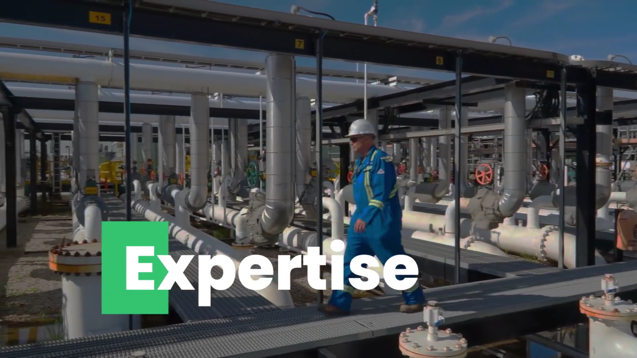
Trans Mountain’s Edmonton Terminal is located within an industrial zone along the city’s eastern edge. The land contains significant rail and freeway access, multiple oil refineries, other oil and gas terminals, and an assortment of other heavy industry.
At the Trans Mountain Terminal, 20 feeder lines from throughout Alberta converge to bring various petroleum products to the facility. The pipeline is capable of carrying refined products, such as gasoline, diesel, and jet fuel, as well as synthetic crude oils, light crude oils, and heavier oils such as diluted bitumen. 35 storage tanks store 8 million barrels en route to their destinations. A recent expansion is adding 4 new tanks, bringing the site’s capacity to 9 million barrels.
Where the pipeline ends
Westridge Marine Terminal, British Columbia
Built in 1957, Trans Mountain’s Westridge Marine Terminal is located in the City of Burnaby, part of greater Vancouver’s bustling metropolitan and harbour area. Burnaby's industrial shoreline is also home to the nearby Parkland oil refinery which converts Trans Mountain crude into motor fuels and other products for the Vancouver market.
The terminal is designed to service Aframax-size oil tankers. At 245 meters long, this is the second-smallest of the 5 international tanker classifications. This will remain the case after the pipeline expansion as the Port of Vancouver doesn’t accommodate the three larger tanker classifications. What will change is the development of a new dock complex that can load 3 Aframax tankers while also hosting tugboats and other safety and emergency response vessels.
The Trans Mountain project team worked extensively with the Vancouver Fraser Port Authority, the Pacific Pilotage Authority, and the B.C. Coast Pilots to determine a preferred dock layout, while also incorporating feedback from the City of Burnaby and community discussions. Approximately 20 different layouts were considered as part of the planning process. The location of the Westridge Marine Terminal and other nearby Trans Mountain facilities means the City of Burnaby will receive more than $250 million in property taxes over the next two decades.
Get updates in your inbox.
